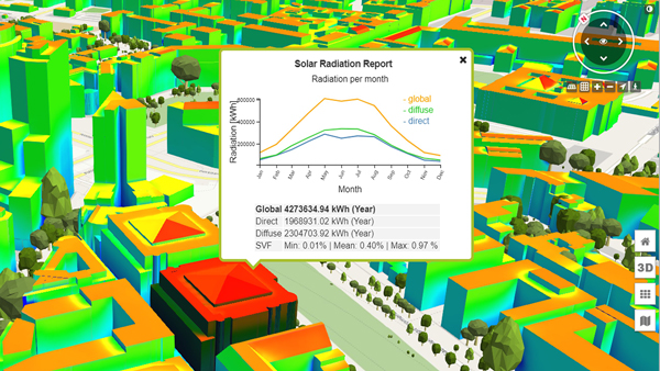
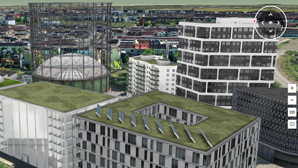
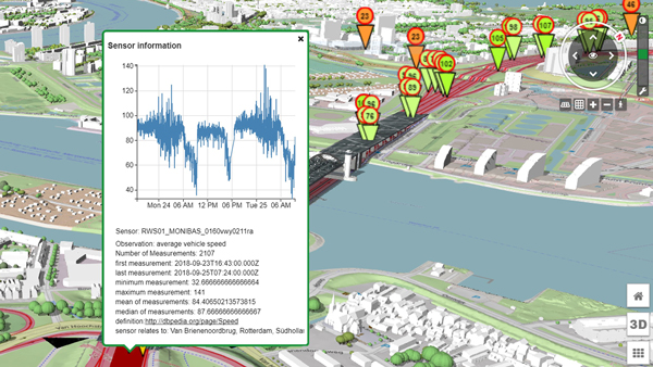
The Digital Twins of a city are a virtual image of buildings, streets and entire urban districts and their environment. A multitude of data from a wide variety of sources complements the Digital Twins to form a valuable planning instrument that can provide up-to-date information and forecasts at any time.
A great advantage is the simple and clearly understandable visualisation of complex calculation results in the models. In this way, they provide reliable support for citizen participation and decisions on improving mobility flows, meeting climate targets, developing new construction areas or implementing security concepts.
The group of participants is limited to a maximum of 20 people and is made up of executives and project managers from the fields of urban planning, engineering and architecture offices, municipalities, surveying and geodesy as well as business development Smart City.


